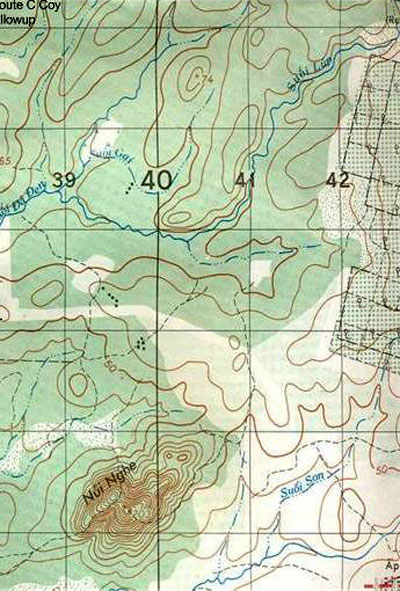
This topographical map from the Hat Dich area of Phuoc Tuy province shows the amount of detail typically available: cultivation on right edge, small hill to South, streams to West, small changes in altitude (contour lines) in the middle, clearings to the bottom right. While there appears to be plenty of topographical variety the likelihood of any feature actually being seen on the ground from more than 50 metres away is slim.
Bruce Young served as a MFC with W3 Company in Vietnam. Read more about the challenges he faced navigating in the flat terrain of Phuoc Tuy province.
Reference
Image courtesy Bruce Young
How to cite this page: '
Topographical map
', URL: https://vietnamwar.govt.nz/photo/topographical-map, (Ministry for Culture and Heritage), updated 20-Dec-2011


