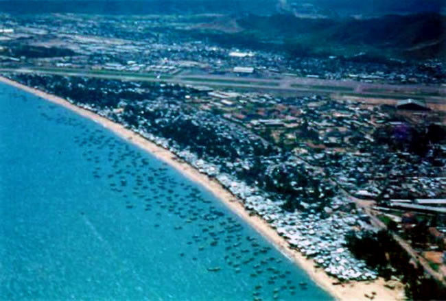
Aerial view of Qui Nhon, circa 1971-1973. The airfield is visible near the top of the photograph.
Reference
Image courtesy Chris Brownie
How to cite this page: '
Qui Nhon airfield
', URL: https://vietnamwar.govt.nz/photo/qui-nhon-airfield, (Ministry for Culture and Heritage), updated 04-May-2011


Comments
The photo is of the Qui Nhon
The photo is of the Qui Nhon airfield and part of Qui Nhon city. You will note the refugee housing on the beach and the fishing fleet off the beach. The Binh Dinh Province Hospital can be seen in the middle distance slightly to the right as a group of buildings. That is the where the NZ Surgical Team was located for 11 years.